Luna County: A Journey Through New Mexico’s Historic Heartland
Nestled in the southwestern corner of New Mexico, Luna County is a unique blend of natural beauty, historical significance, and economic vitality. Bordering the counties of Grant, Hidalgo, and Doña Ana, this region stands out for its distinct desert landscape and strategic location.
Just a stone’s throw away from the U.S.-Mexico border, Luna County serves as a vital connection between the United States and its southern neighbor, positioning itself as a crucial link in the state of New Mexico.
Rich in history, Luna County is home to several significant historical sites that capture the essence of the American Southwest. Among these, the Deming Luna Mimbres Museum stands out as a treasure trove of artifacts that chronicle the county’s past, from ancient Native American cultures to the Wild West era.
The Rockhound State Park, another historical landmark, offers a glimpse into the geological history of the region, allowing visitors to collect unique rocks and minerals that are abundant in this area.
The economy of Luna County is largely driven by agriculture, with the region’s fertile land producing a variety of crops, including pecans, chiles, and onions. The county’s agricultural success is supported by its robust infrastructure, which includes major highways and transportation networks that connect Luna County to the broader state of New Mexico and beyond.
The county seat, Deming, serves as the economic hub, where a growing population of nearly 24,000 people contributes to the region’s development and vibrancy.
Covering an area of 2,965 square miles, Luna County is not just about its economic activities; it also boasts a rich natural environment that attracts visitors from across the country.
The county’s diverse landscapes, from its sprawling deserts to its lush green spaces, offer a picturesque setting that is ideal for wall decor.
For those looking to bring a piece of New Mexico’s charm into their space, a detailed map of Luna County serves as more than just a decorative item; it’s a gateway to exploring the rich history, vibrant economy, and breathtaking landscapes of this unique region.
As we delve deeper into the specifics of Luna County, you’ll discover why this map is a must-have for any enthusiast of American geography.
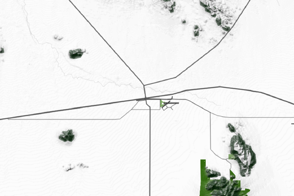
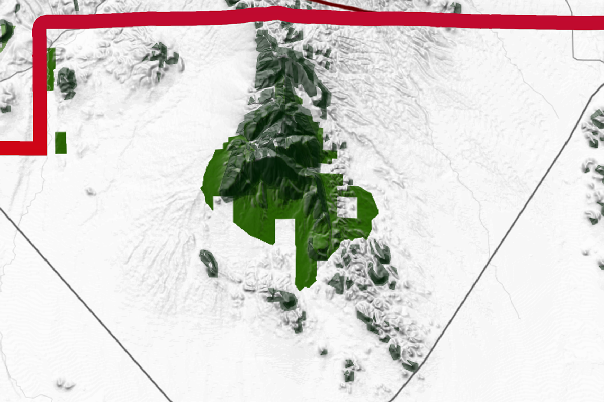
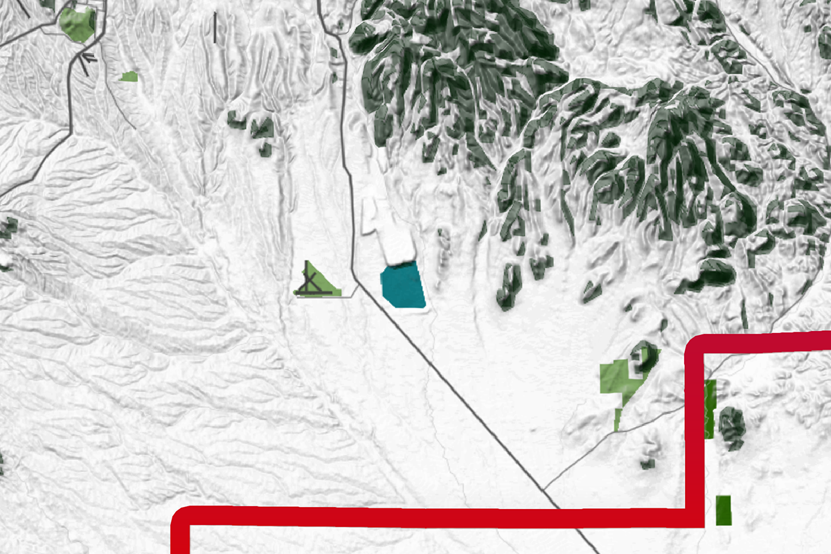
Luna County, NM Map

The Strategic Importance of it´s Roadmap
Luna County is crisscrossed by several key highways and avenues that connect its cities and towns, playing a vital role in the region’s economy and accessibility. The most prominent of these is Interstate 10, which runs through the heart of the county, connecting Deming to neighboring cities like Lordsburg to the west and Las Cruces to the east. U.S.
Route 180 also plays a crucial role, linking the county to Silver City and the greater southwestern region. These highways not only facilitate the movement of goods and people but also highlight the strategic importance of Luna County as a transportation hub in New Mexico.

The Blend of Rugged Mountains
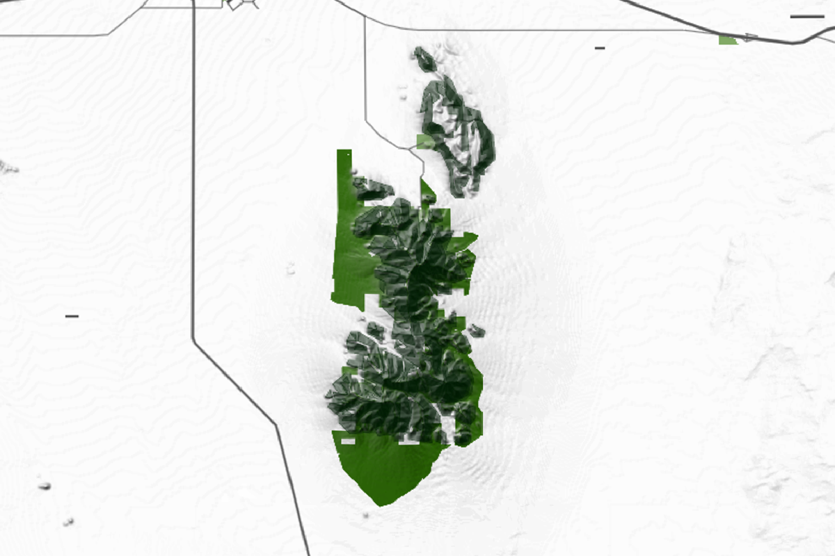
Luna County’s topography is a captivating blend of rugged mountains, fertile valleys, and expansive desert plains. Dominated by the Florida Mountains in the south, which rise to about 7,000 feet, and the Little Hatchet Mountains to the northeast, the county features dramatic elevation changes.
The fertile Mimbres Valley offers a contrast to the surrounding arid terrain, providing lush vegetation amidst the otherwise high desert relief. The Jornada del Muerto Plain to the east exemplifies the county’s vast, flat expanses, making Luna County’s landscape a diverse and visually striking mix of mountains, valleys, and rolling plains.

Its Unique Desert Environment
Luna County is home to several natural reserves and parks that showcase its unique desert environment. Rockhound State Park, located southeast of Deming, is a popular destination for rock collectors and nature enthusiasts, offering a unique blend of geological formations and desert flora.
The park is a habitat for a variety of wildlife, including mule deer, javelinas, and several species of birds. The climate in this region is typically arid, with hot summers and mild winters, making it an ideal destination for year-round outdoor activities. The park’s natural beauty, with its distinctive rock formations and desert vegetation, is a testament to the rugged charm of Luna County.

The Sparse Water Bodies
Water bodies in Luna County may be sparse, but they play a crucial role in the region’s ecology and the lives of its residents. The Mimbres River, although not perennial, provides an essential water source during the rainy season, supporting both agriculture and local wildlife.
Additionally, the region’s proximity to the Rio Grande ensures access to one of the most important water sources in the American Southwest, critical for the county’s agricultural activities. These water bodies, though limited, are vital to sustaining life in this arid landscape and are a key feature of any comprehensive map of Luna County.
Allendale County, SC
| City | Population | Area (sq mi) |
| Deming | 23,835 | 24.8 |
| Columbus | 1,664 | 2.7 |
| Sunshine | 1,000 (approx.) | 1.3 |
| Luna County Total | 25,499 | 2,965 |
Luna County’s unique blend of historical landmarks, economic vitality, and natural beauty makes it a fascinating region to explore, both in person and through its detailed maps. A map of Luna County, whether used as wall decor or a planning tool, encapsulates the essence of this region, offering a visual representation of its roads, parks, and water bodies.
Such a map is not just a decorative piece; it is a gateway to understanding the intricate details that make Luna County a vibrant part of New Mexico. Whether framed or unframed, this map will bring a touch of the Southwest into any space, serving as a constant reminder of the rich tapestry that defines Luna County.


