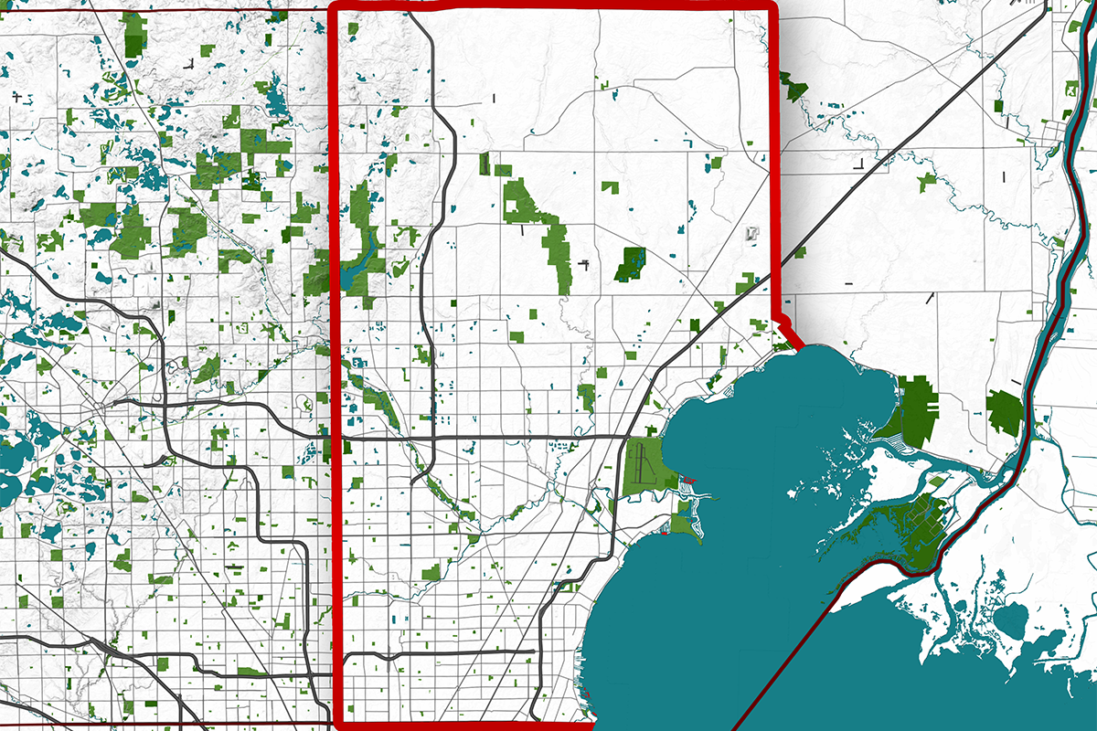
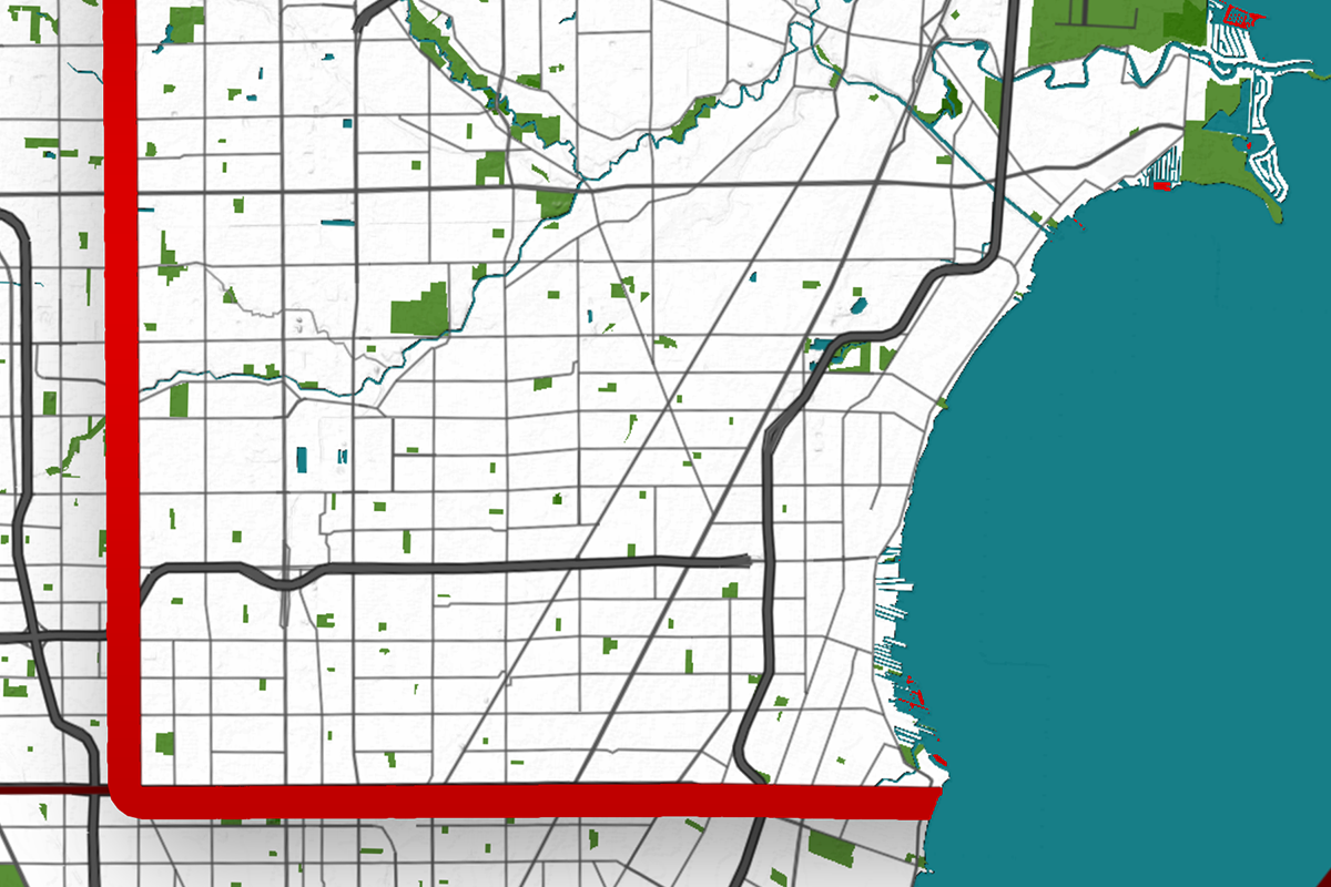
Macomb County Map – Mapping Michigan’s Vital Economic Hub
Located in the southeastern part of Michigan, Macomb County is a prominent county that serves as a vital link between the urban hub of Wayne County and the more rural expanse of St. Clair County.
Bordered by Oakland County to the west and the scenic shores of Lake St. Clair to the east, Macomb County’s strategic location plays a key role in connecting Michigan’s diverse landscapes and economies. The county is also a part of the Detroit Metropolitan Area, giving it easy access to Michigan’s largest city while retaining its unique suburban charm.
Macomb County is home to several important historical sites that reflect its rich past. The Clinton-Kalamazoo Canal, a 19th-century attempt at constructing a waterway, represents the region’s early ambition to connect with other parts of the state.
Another notable site is The Crocker House Museum, which showcases Victorian-era life in Mount Clemens, the county seat. These landmarks serve as reminders of the county’s development and transformation from its early days as a farming community to its current status as a suburban hub.
The county’s economy is diverse, with a strong emphasis on manufacturing, healthcare, and defense. General Motors has a significant presence in the county, with Warren, one of Macomb’s largest cities, being home to GM’s Technical Center.
Additionally, the Selfridge Air National Guard Base in Harrison Township is another key player, contributing to both the local economy and the national defense sector. Beyond industry, Macomb County boasts a vibrant retail and service economy, helping it remain a vital part of Michigan’s economic landscape.
As of the latest census, Macomb County has a population of approximately 880,000 residents, spread over an area of 570 square miles. This makes it the third most populous county in Michigan, trailing only Wayne and Oakland Counties.
With a mix of urban, suburban, and rural areas, Macomb is known for its family-friendly communities, excellent schools, and access to outdoor recreational activities.
This article will break down the unique features of Macomb County, covering its roadways, topography, natural parks, water bodies, and more.
Each of these elements will be illustrated through detailed maps, offering a comprehensive look at what makes this Michigan county special.
Macomb County’s Scenic Network: Roadmap of Connectivity
Navigating Macomb County’s Main Arteries

Macomb County’s road network is a testament to its role as a suburban hub, seamlessly connecting its cities and townships to the greater Detroit metropolitan area.
The county is traversed by major highways, including Interstate 94 (I-94), which runs along the eastern edge, providing access to Detroit to the south and Port Huron to the north. M-59 (Hall Road) is a key east-west route that runs through the county, connecting cities like Sterling Heights, Clinton Township, and Utica.
Van Dyke Avenue (M-53) is another significant north-south route that bisects the county, offering access to Romeo and Shelby Township.
Shaping the Land:
Exploring Macomb’s Varied Terrain

Macomb County’s topography is characterized by relatively flat terrain, typical of much of southeastern Michigan, but it features subtle variations that add to its charm.
The county sits on a low plain that gently slopes towards Lake St. Clair to the east. In the northern parts, particularly around Romeo and Washington Township, rolling hills begin to appear, offering scenic vistas and fertile land. The Clinton River Valley cuts through the center of the county, shaping the landscape and providing a vital waterway for the region.
Green Treasures:
Discovering Macomb’s Outdoor Retreats

Macomb County offers an abundance of green spaces, parks, and nature reserves that cater to both residents and visitors. Stony Creek Metropark, located near Shelby Township, is a favorite destination for outdoor enthusiasts, featuring hiking trails, a large lake, and diverse wildlife. Wolcott Mill Metropark in Ray Township provides visitors with a taste of rural Michigan, complete with historical sites and a working farm.
Macomb’s climate is characterized by cold winters and warm summers, with average temperatures ranging from 20°F in winter to 80°F in summer. These parks serve as havens for Michigan’s native fauna and flora, offering lush forests, wetlands, and grasslands.
Waterways of Life:
Flowing Through Macomb: Rivers and Lakes

Macomb County’s proximity to Lake St. Clair is one of its defining features. This vast freshwater lake provides both recreation and natural beauty to the region, with the Lake St. Clair Metropark being a key access point for boating, fishing, and swimming.
The Clinton River flows through the heart of the county, originating in Oakland County and emptying into Lake St. Clair, offering scenic views and recreational opportunities for communities like Sterling Heights and Mount Clemens. These waterways are crucial to both the environment and the economy, supporting local wildlife and offering avenues for water-based leisure activities.
The Comprehensive Macomb County Map – MI
| Municipality/Town/City | Population | Area (Square Miles) |
| Warren | 134,587 | 34.46 |
| Sterling Heights | 132,438 | 36.80 |
| Clinton Township | 100,512 | 28.45 |
| Roseville | 47,710 | 9.80 |
| St. Clair Shores | 59,715 | 11.62 |
| Shelby Township | 79,652 | 35.20 |
| Mount Clemens | 16,314 | 4.20 |
| Romeo | 3,596 | 2.00 |
Macomb County, Total Population: 880,000, Total Area: 570 square miles
Bringing the Macomb County Map – MI to Life
A map of Macomb County is not just a tool for navigation, but also a beautiful addition to any home or office. The detailed illustrations of its road networks, parks, and waterways make it both informative and visually appealing. Displaying the map can evoke memories of outdoor adventures, trips through the countryside, or simply the pride of living in one of Michigan’s most dynamic counties. Whether you’re a resident, a traveler, or an enthusiast of Michigan’s diverse geography, the Macomb County Map – MI is a striking piece that adds both character and charm to any space.


