Worth County: Where Georgia’s Heritage Meets Natural Beauty
Worth County, Georgia, nestled in the heart of the state, is a region rich with Southern charm and historical significance. Located between Dougherty County to the southwest, Turner County to the north, and Colquitt County to the southeast, Worth County is an essential piece of Georgia’s vibrant tapestry.
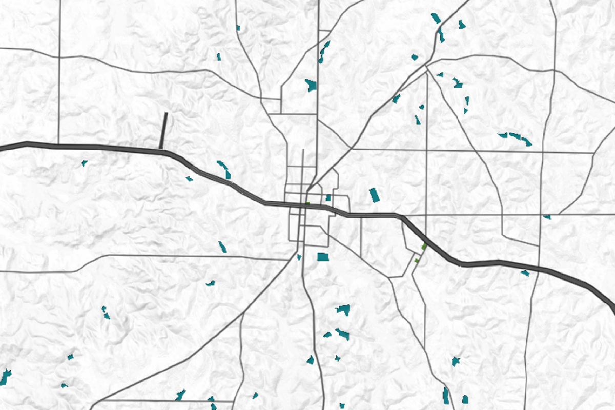
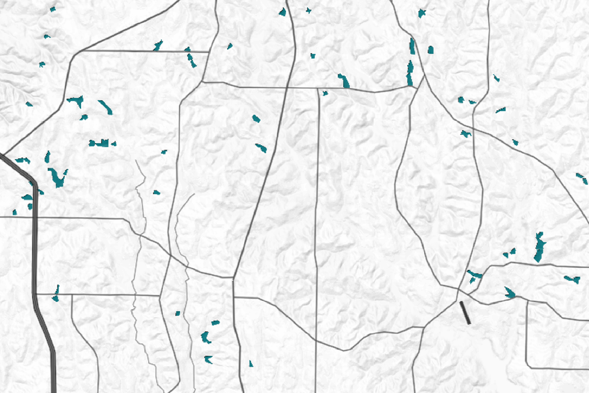
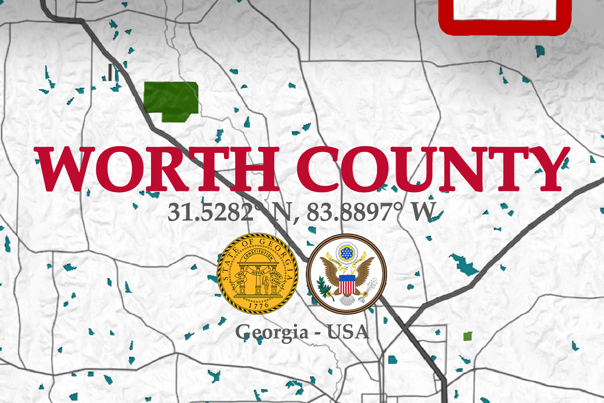
With its strategic position in the state, this county serves as a bridge between the urban centers of Albany and the rural landscapes that define much of South Georgia. For those with an eye for detail, a map of Worth County makes an ideal wall decor, capturing the essence of its location and the connections it shares with neighboring regions.
Steeped in history, Worth County is home to several historical sites that reflect its deep-rooted heritage. The Confederate Memorial in Sylvester, the county seat, stands as a testament to the area’s involvement in the Civil War, while the Shingler Heights Historic District showcases early 20th-century architecture.
These landmarks, among others, provide a glimpse into the past, making a map of Worth County not just a decorative item, but a gateway to the county’s rich historical narrative.
Economically, Worth County has long been anchored by agriculture, with peanuts, cotton, and timber playing significant roles in the local economy.
The county is also known for its production of watermelons, earning Sylvester the title of “Watermelon Capital of the World.” This agricultural heritage is beautifully captured on a county map, where the farmlands and rural roads tell the story of a community deeply connected to the land.
The population of Worth County is modest, with around 20,000 residents spread across an area of approximately 575 square miles. This balance of population and space provides a sense of openness and tranquility, a characteristic that can be felt when viewing a map of the county.
The layout of the towns, the expanse of the rural areas, and the natural features all combine to create a map that is as much about the people as it is about the geography.
Using a map of Worth County as wall decor is more than just a nod to its geographical layout. It’s about capturing the essence of a place where history, economy, and community converge.
Worth County, GA – Geographical Layout
1. What Runs Through The Heart Of The County

Worth County is crisscrossed by several key highways and roads that connect its towns and communities. U.S. Route 82 runs through the heart of the county, linking the county seat, Sylvester, to Albany in the west and Tifton in the east.
State Route 33 provides a north-south connection, weaving through Sylvester and into the rural expanses of the county. These highways, along with numerous county roads, form a network that is essential for the movement of people and goods, making them prominent features on a detailed county map.
2. The Coastal Plain Region:

The topography of Worth County is predominantly flat, characteristic of the Coastal Plain region of Georgia. The county’s landscape is dotted with gentle rolling hills and expansive farmlands. The soil here is rich and well-suited for agriculture, contributing to the county’s economic backbone.
A map that highlights the topography of Worth County would showcase these subtle elevations and the vast agricultural fields that define the region.
3. Local Ecology:

While Worth County may not boast large national parks, it is home to several green spaces and natural reserves that offer a glimpse into the local ecology. The Pine Island Club, a private hunting and fishing reserve, is one such area that highlights the county’s natural beauty.
Additionally, the county’s many farmlands and wooded areas provide habitats for a variety of wildlife, contributing to a landscape that is as ecologically rich as it is picturesque. The climate is typically warm, with mild winters and hot, humid summers, supporting a diverse range of flora and fauna.
4. The Smaller Creeks:

Worth County is interspersed with several small rivers and creeks that contribute to the county’s rural charm. The Little River, flowing along the western edge of the county, is one of the primary water bodies, providing both recreational opportunities and irrigation for the agricultural lands.
Numerous smaller creeks meander through the county, adding to the natural beauty that a map of Worth County would vividly depict. These waterways are integral to the local ecosystem and are key features on any comprehensive map of the area.
Conclusion:
| Cities | Population | Area (sq miles) |
| Sylvester | 6,000 | 6.3 |
| Poulan | 900 | 1.4 |
| Warwick | 400 | 1.2 |
| Sumner | 200 | 0.8 |
| Worth County | 20,000 | 575 |
A map of Worth County, Georgia, is more than just a geographical representation—it’s a window into the county’s history, economy, and natural beauty. This map can serve as a meaningful and aesthetically pleasing piece of decor, reminding viewers of the county’s rich heritage and its unique place in the landscape of Georgia.


