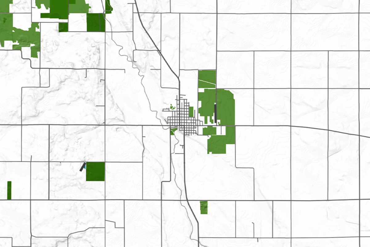
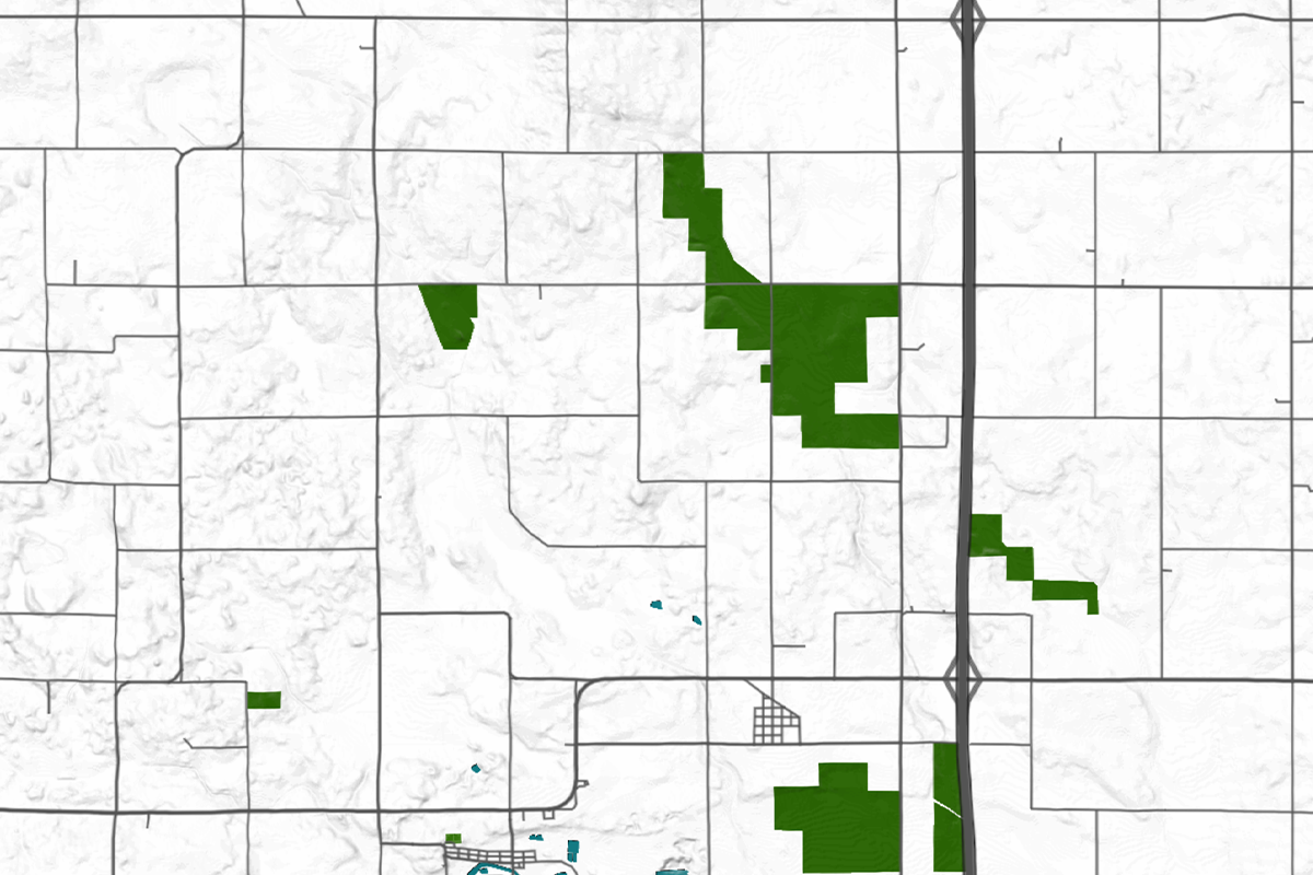
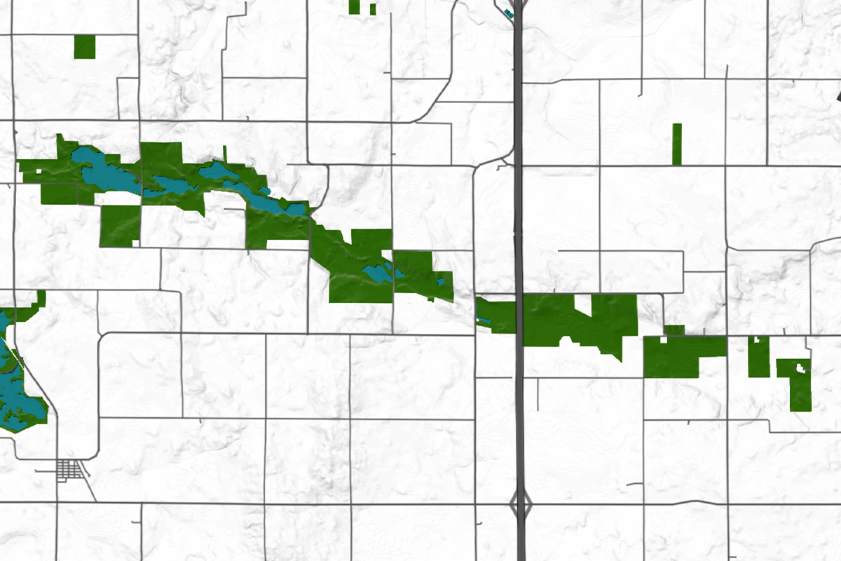
Worth County: A Iowa´s Hidden Gem Map
Nestled in the northern part of Iowa, Worth County is a tranquil region that exudes the charm of rural America. Bordered by Winnebago County to the west, Mitchell County to the east, and Freeborn County in Minnesota to the north, Worth County is a prime example of the picturesque landscapes that define the American Midwest.
Worth County has a rich history that is reflected in its well-preserved historical sites. One of the most notable landmarks is the Worth County Courthouse, located in Northwood, which stands as a testament to the county’s 19th-century architecture.
Another key site is the historic Winnebago River Bridge, a reminder of the county’s significant past in the development of transportation networks. Displaying a map of Worth County in your home can serve as a conversation piece, reminding you of the area’s historical significance.
The economy of Worth County is predominantly agricultural, with a focus on corn and soybean farming, supported by local agribusinesses. The county also hosts the Diamond Jo Worth Casino, a significant contributor to the local economy, attracting visitors from across the region. By hanging a map of Worth County on your wall, you can reflect on the agricultural richness and economic vitality of this small yet impactful county.
With a population of just over 7,500 residents spread across an area of 400 square miles, Worth County offers a sense of community that is both close-knit and welcoming. Its small population is spread across several towns and rural areas, each contributing to the county’s unique character.
Incorporating a map of Worth County into your home décor not only highlights the county’s physical characteristics but also symbolizes the simplicity and beauty of rural life in Iowa. The map serves as a visual representation of the county’s history, economy, and community, making it a perfect addition to any home or office space.
Worth County, IA – The County’s Unique Character
A Network That Is Both Functional And Scenic:

Worth County is traversed by several important highways and roads that connect its towns and provide access to neighboring counties. The most notable of these is U.S. Route 65, which runs north-south through the county, linking Northwood to the southern border with Franklin County.
Iowa Highway 9 is another significant route, cutting east-west across the county and connecting the towns of Hanlontown and Manly. These highways, along with numerous county roads, create a network that is both functional and scenic, making Worth County an ideal subject for a detailed map that showcases its transportation infrastructure.
It´s Gently Rolling Hills And Flat Plains:

Worth County’s landscape is characterized by gently rolling hills and flat plains typical of northern Iowa. The terrain is shaped by the ancient glacial activity that left behind rich, fertile soil, making the area ideal for agriculture.
The county’s topography includes subtle variations in elevation, with the highest points found near the western border along the Lime Creek and Shell Rock River valleys. This topographical diversity can be captured in a map, highlighting the region’s natural beauty and its suitability for farming.
It´s Ecological Diversity:

While Worth County may not boast large national parks, it is home to several important natural areas that contribute to its ecological diversity. The Kuennen’s Quarry and Ochee Yahola Park are popular spots for outdoor recreation, offering opportunities for fishing, hiking, and wildlife observation.
The county’s green spaces, combined with its moderate climate and diverse flora and fauna, make it a haven for nature enthusiasts. A map detailing these green areas can serve as a reminder of the county’s commitment to preserving its natural beauty.
The Smaller Creeks And Streams:

Worth County is defined by several key water bodies, including the Winnebago River, which flows through Northwood, and the Shell Rock River along the western edge of the county. These rivers, along with smaller creeks and streams, play a crucial role in the county’s ecosystem and provide vital resources for agriculture and recreation.
The river basins and associated wetlands are integral to the county’s landscape, making them important features to highlight on any map of Worth County. These water bodies not only support local agriculture but also offer scenic beauty that can be enjoyed year-round.
Conclusion:
| Municipality/Town/City | Population | Area (sq. miles) |
| Northwood | 1,972 | 2.3 |
| Manly | 1,323 | 1.7 |
| Grafton | 252 | 1.0 |
| Kensett | 266 | 0.9 |
| Fertile | 370 | 0.6 |
| Joice | 222 | 0.5 |
| Worth County | 7,500 | 400 |
A map of Worth County, Iowa, is more than just a decorative piece; it is a reflection of the county’s rich history, diverse landscape, and tight-knit community. Whether displayed in your home or office, this map serves as a visual representation of the beauty and charm of rural Iowa, making it a timeless addition to any décor.


